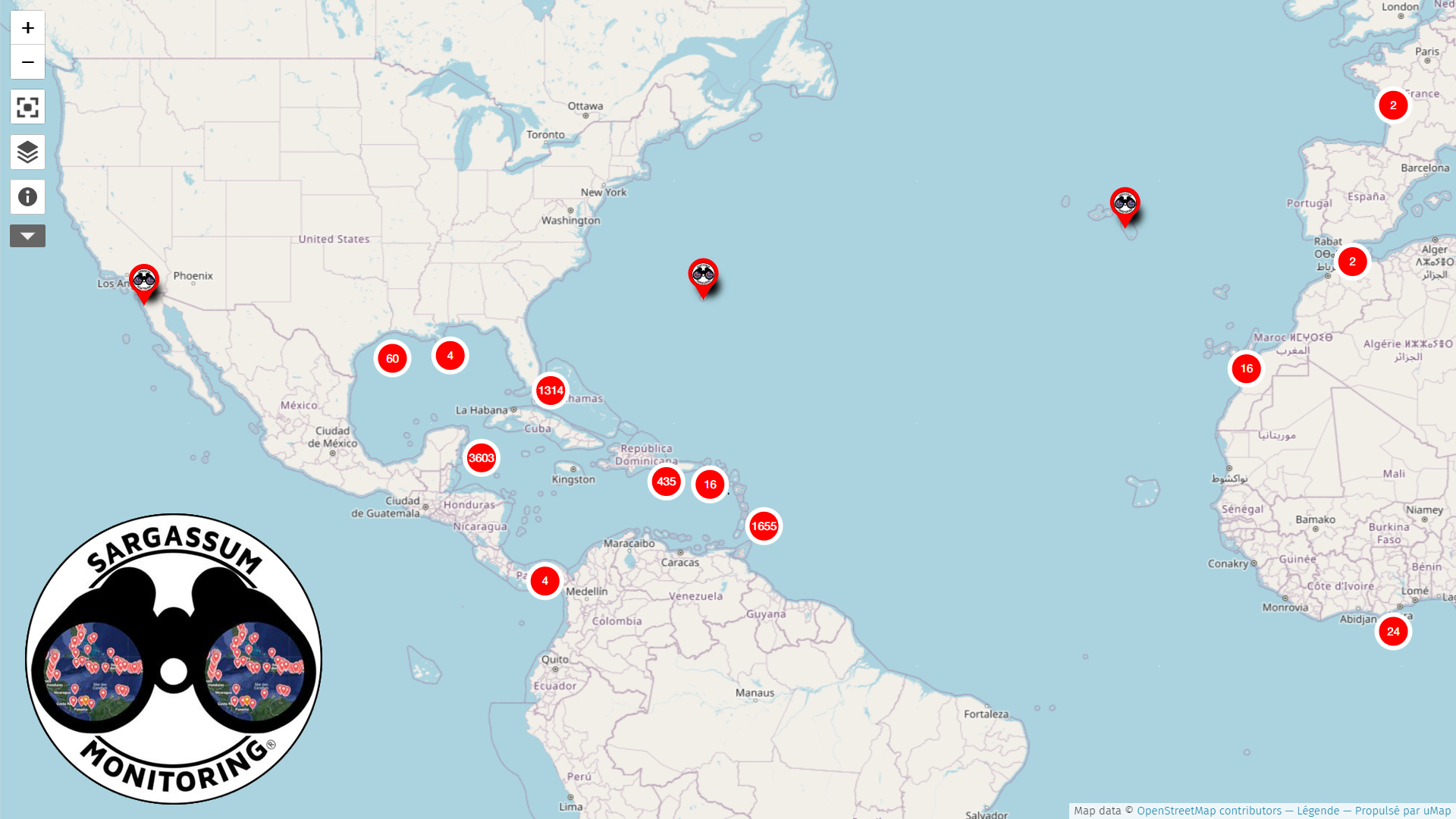
We use Sargassum Monitoring©, a nonprofit organization that has been publishing official maps and forecasts of areas affected by sargassum since 2018. This gives us access to a unique and extensive database of regularly impacted sites, allowing us to target the beaches where our floating barriers and the Sargaboat® are needed.
The Sargassum Monitoring© maps are unique because: – They are the only maps covering ALL countries affected by sargassum. – They are updated multiple times a day. – They are the only maps to provide photos, videos, and dates for each impacted site, offering a view of the REAL situation. – The organization is entirely independent, which allows them to provide reliable images and information, useful to tourists planning their vacations, journalists, tour operators, scientists, universities, and governments looking for solutions.
Don’t hesitate to send them your donations !

